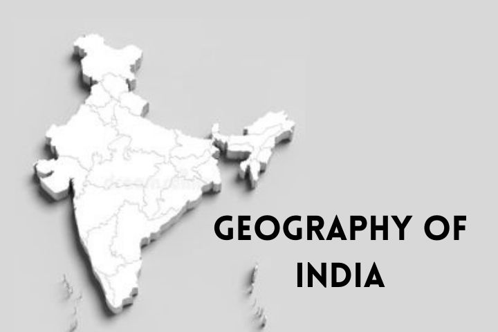
India is a vast country, and so is its geography. It stands at the 7th position when we consider the largest countries of the world. The ocean surrounds the country in the south, and the great Himalayas protects the north. The climate in this country changes with the location-the far south experiences an equatorial climate, and the far north experiences Tundra. The country is divided into 29 states and 8 union territories. Every region has a different culture, and various cultures speak their respective languages.
Geographical Regions
The country is divided into 7 geographical regions. Here is a list of them.
- The Northern Mountains – These include the Himalayan Range as well as the Northeastern mountain range.
- Thar Desert
- Deccan Plateau and the Central Highlands
- Indo- Gangetic Plains
- East Coast
- West Coast
- The seas and islands at the border.
When we learn about the geography of India in detail, we can go on reading books about it. This article isn’t as long as a book. It contains some of the highlight features of the geographical regions of India.
- Mountains – Some of the mountains in India are considered among the tallest ones in the world. They serve as a barrier to the cold polar winds. Not only this, but they also drive the monsoons in India. Several rivers originate in these mountains. There are 8 major mountain ranges in the country and they are
-
- Aravalli
- Eastern Ghats
- Himalayas
- Vindhayas
- Patkai
- Western Ghats
- Satpuras
- Karakoram
- The Thar Desert – This desert is one of the significant parts of the western side. The desert is situated in Rajasthan and covers an area of 2,08,110 kilometers square. The temperatures here go extreme. It ranges from above 45 ° C in summers to freezing winters to erratic rainfall. The desert lies in the rain shadow area of the Aravalli range and that is why it doesn’t experience any monsoon.
- Highlands – The highlands mainly consist of 3 plateaus
- Malwa Plateau
- Deccan Plateau
- Chota Nagpur Plateau
- Indo-Gangetic Plains – These plains run parallel to the Himalayas and are the floodplains of rivers Indus and Ganga. The Indo-Gangetic plains are an uninterrupted source of alluvium in the world. They also constitute great water resources. Many crops are grown in these regions.
- East Coast – The East Coast is a large piece of land that lies between the Eastern Ghats and the Bay of Bengal. The land is extended from Tamil Nadu to West Bengal. The plains are divided into six parts, and deltas of some major rivers are found here.
- West Coast – The Western Ghats lies between the Arabian Sea and the Western Ghats. They begin in Gujarat and extend across Maharashtra, Goa, Karnataka, and Kerala. The western coast has been divided into 3 regions. The rivers that come to an end on the west coast do not form deltas. They form estuaries.
- Islands – Lakshadweep and Andaman & Nicobar are two of the major islands surrounding the southern part of India. There are also some significant islands just off the coast of India.
Key Points:
India is a beautiful country, and there are so many things that one can dive into the knowledge of facts relating to the geography of India. It has a large population and diversified cultures. The country has various climates, and the climate changes are affected mainly by the Himalayan range and the Thar Desert. There is no general climate and as you change your location, the weather changes too. This country is even prone to so many natural disasters. Here is a list of the key points that you must know about this country.
- The country has an area of 3.3 million square kilometers.
- India has the second-largest population count in the world.
- The country comprises 14 official languages, but in total, the count of languages here is 22. The major ones are – Hindi, Bengali, Marathi, and Telugu.
- The wettest place on Earth – Mawsynram, is a part of India.
- The climate of India, if categorized on a single scale, is majorly tropical monsoon. There are 4 major seasons –
- Winter Season ( experienced in December – February)
- Summer Season (experienced in March-June)
- South-West Monsoon Season (experienced in June-September)
- Post-Monsoon Season (experienced in October-November).
- The country has several natural resources like – Coal, Iron Ore, Petroleum, and many more.
- The country is home to many historic buildings and the reserves of the old times.
- India receives almost 6.6 million international tourists every year.
- 53% of the country’s land area is devoted to agriculture and constitutes a major part of living for many people across the country.
Conclusion
In this article, I have covered some major facts about the vast diversity of the geographical features of India. India is a country with beautiful forests and astonishing wildlife. The vastness of the area is the reason why the geography of India is so diverse. And that is the reason why there is so much to learn about the people and their cultures, the wide agricultural lands, the snow-capped mountains, and scorching deserts. I hope this article provided you with some knowledge and facts about the country and gave an introduction to the geography of India.

